Disclaimer:
Please be aware that the content herein is comprised of personal reflections, observations, and insights from our contributors. It is not necessarily exhaustive or authoritative, but rather reflects individual perspectives. While we aim for accuracy, we cannot guarantee the completeness or up-to-date nature of the content.
Type of project
Contributory project: It is designed by members of the scientific community, and citizens participate in data collection. Collaborative project: Citizens participate in data collection and analysis. Co-created project: Citizens participate in all stages of the scientific process.
Overall goal
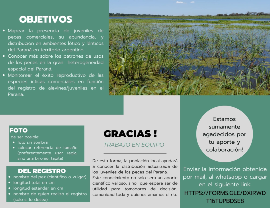
Map the presence, abundance, and distribution of juvenile fish used for commercial fishing in lotic and lentic environments of the Paraná River within Argentinian territories. Specific goals:
Specific goals
Learn more about fish use patterns (fry and juveniles, mainly use patterns of fish species of commercial/recreational significance) in the great spatial heterogeneity of the Paraná river. This is done according to the hydro-geomorphological characteristics of the system, in lotic/lentic environments, and in relation to connectivity. Monitor the reproductive success of commercial fish species based on the recording of fry/juvenile specimens in the Paraná river (within Argentinian territory), during and after cases of extraordinary low tide.
Description of citizen participation
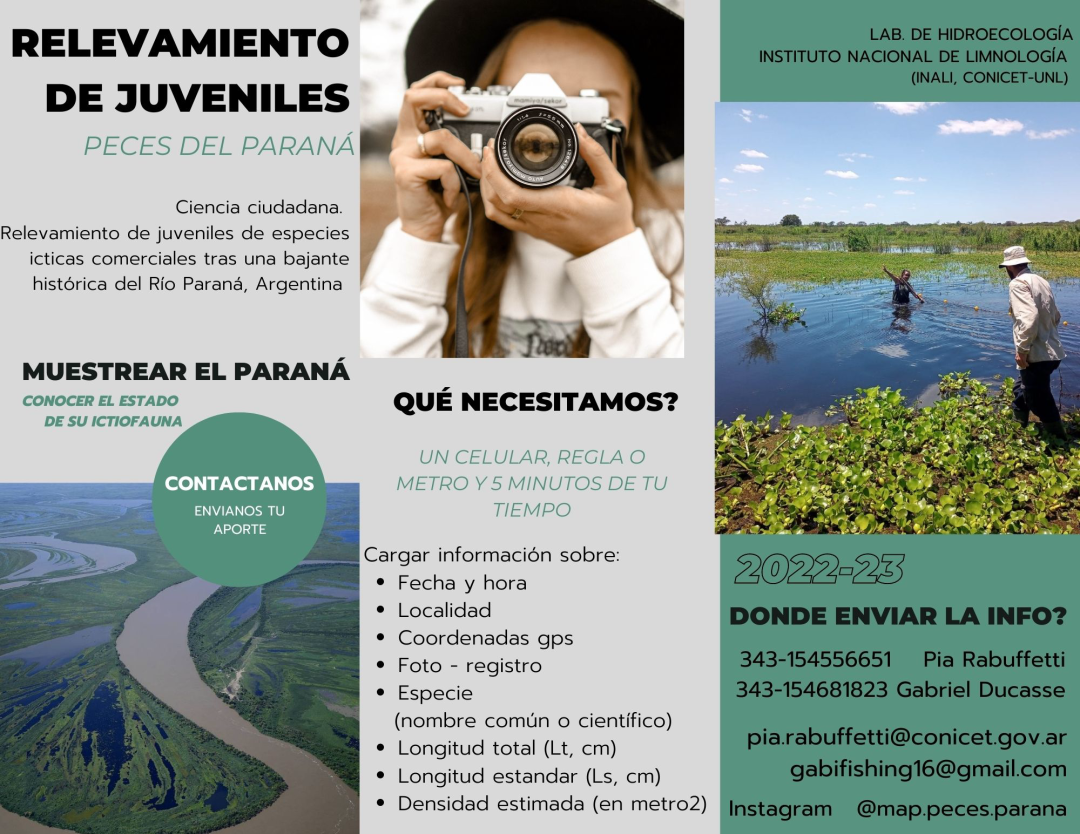
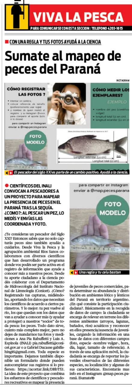
Citizens send photographic records of identified juvenile fish with data on species, size, location, and estimated quantity through different media (Instagram, email, WhatsApp), which helps to determine the updated distribution of juvenile specimens in the Paraná river.
Time Frame
09/01/2022 - N/A.
Project leaders
[REDACTED], National Scientific and Technical Research Council (CONICET) [REDACTED], Ríos Sanos Foundation
Contact information
Email: [REDACTED], [REDACTED] Instagram: instagram.com/map.peces.parana
SDGs
 Consent to share form or official link.


 15Life on land
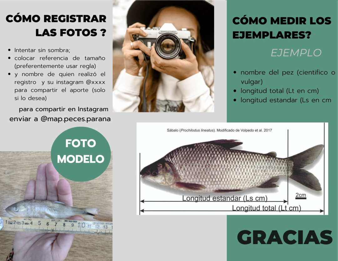


Comments
Log in to add a comment or reply.