Disclaimer:
Please be aware that the content herein is comprised of personal reflections, observations, and insights from our contributors. It is not necessarily exhaustive or authoritative, but rather reflects individual perspectives. While we aim for accuracy, we cannot guarantee the completeness or up-to-date nature of the content.
GeoFarmer at GEOTERRAIMAGE Ltd is established in 2017 and has combined innovations in smart farming and digital advisory and e-commerce and are regional in their deployment across the entire SADC region.
Whilst GeoTerraImage is a private sector company which provides actionable intelligence through monthly crop monitoring through GeoFarmer-©-Crop monitoring platform to support precision farming, and accurate information to map crop trends and statistics by using a dashboard in a cloud-based environment. The innovative solution provides through the use of computers, satellites and Earth Observation visual maps and illustrations, statistics and trends for each field or farm being analysed (crop type, crop growth stages, land suitability, crop irrigation) and guiding decision making around farm management and practices for more efficient and sustainable production. GeoTerraImage have reached wide scale sustained adoption and operate in Angola, Botswana, Comoros, DRC, Eswatini, Lesotho, Madagascar, Malawi, Mauritius, Mozambique, Namibia, Seychelles, South Africa, Tanzania, Zambia and Zimbabwe. Through specialized software, proprietary algorithms and application GeoTerraImage use remote sensed data to create spatial information. They combine advanced information and reporting to enable analysis, quantification and monitoring to support key decision making. They charge business subscription fees for their fully commercial product and believe their technology is inclusive of underrepresented groups.
 Consent to share form or official link.

 9Industry, innovation and infrastructure
 12Responsible consumption and production
 15Life on land
 17Partnerships for the goals
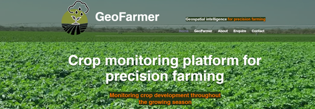


Comments
Log in to add a comment or reply.