Disclaimer:
Please be aware that the content herein is comprised of personal reflections, observations, and insights from our contributors. It is not necessarily exhaustive or authoritative, but rather reflects individual perspectives. While we aim for accuracy, we cannot guarantee the completeness or up-to-date nature of the content.
Improving decision-making processes for stakeholders for optimal management of water resources.
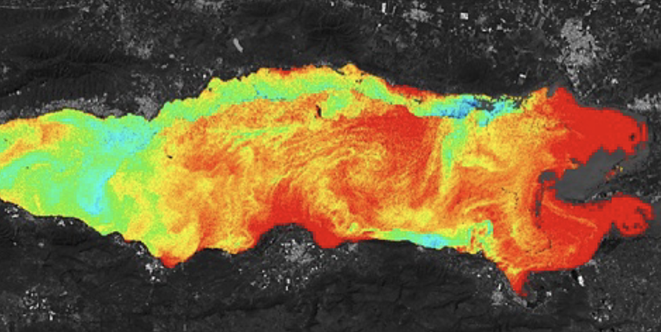
The project uses satellite imagery and artificial intelligence for automated analysis and constant monitoring of physical, chemical, and biological parameters such as:
• Surface temperature
• Turbidity
• Dissolved oxygen
• Chlorophyll-a
• Total nitrogen
• Total phosphorus
Solutions that help companies, communities, and governments in making informed decisions for the proper management of water resources of continental and oceanic aquatic ecosystems in various sectors such as:
• Fisheries
• Marine ecosystems
• Blue Carbon
• Oil & Gas
• Water Quality
• Coastal Engineering
• Aquaculture
 Consent to share form or official link.

 6Clean water and sanitation
 9Industry, innovation and infrastructure
 13Climate action
Comments
Log in to add a comment or reply.