SDG Commons

SDG Commons
Location(s)
Tags
SDG(s)
Sustainable Development Goal(s)
Powered by


SDG(s)
Sustainable Development Goal(s)
 9Industry, innovation and infrastructure
Please be aware that the content herein has not been peer reviewed. It consists of personal reflections, insights, and learnings of the contributor(s). It may not be exhaustive, nor does it aim to be authoritative knowledge.
Nombre del creador(es)
Descripción
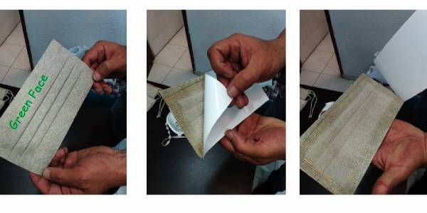
Adjunta la imagen de tu iniciativa


Comments
Log in to add a comment or reply.