SDG Commons

SDG Commons
Location(s)
Tags
SDG(s)
Sustainable Development Goal(s)
Powered by
Posted by Mohseen Riaz Ud Dean
UNDP Fiji Accelerator Lab
SDG(s)
Sustainable Development Goal(s)
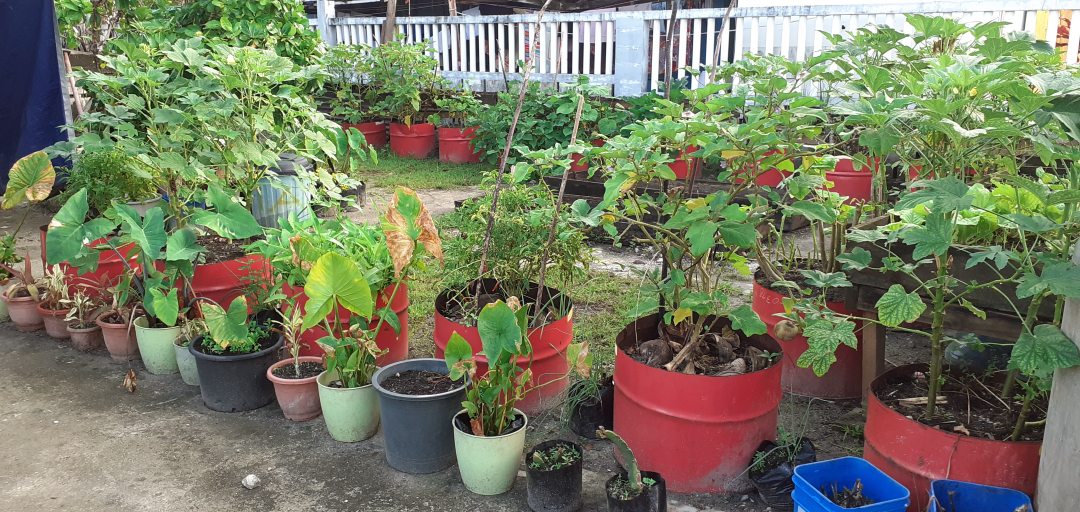
 2Zero hunger
Please be aware that the content herein has not been peer reviewed. It consists of personal reflections, insights, and learnings of the contributor(s). It may not be exhaustive, nor does it aim to be authoritative knowledge.


Comments
Log in to add a comment or reply.