Disclaimer:
Please be aware that the content herein has not been peer reviewed. It consists of personal reflections, insights, and learnings of the contributor(s). It may not be exhaustive, nor does it aim to be authoritative knowledge.
https://eduba.app/main/
The rise of e-learning in the last decade has brought forth a range of solutions to provide high-quality education to people of all ages. Recent COVID lockdowns have inspired people all over the world to learn new skills at home using free and paid online courses.
But today, the internet services and traditional methods of educational institutions in Iraq have proven to be a bottleneck in accessing e-learning services from home.
The Eduba educational management platform is the first platform that seeks to achieve a comprehensive digital transformation for educational institutions in Iraq. The 6-in-1 system includes:
1- Course management
2- Accounting
3- Human Resources Management
4- Evaluation and Assessment
5- E-learning
6- Video conferencing
In direct challenge to the traditional administration of universities in Iraq that rely on paper-based systems, Eduba is providing a comprehensive and secure virtual environment.


 4Quality education
 9Industry, innovation and infrastructure
 11Sustainable cities and communities
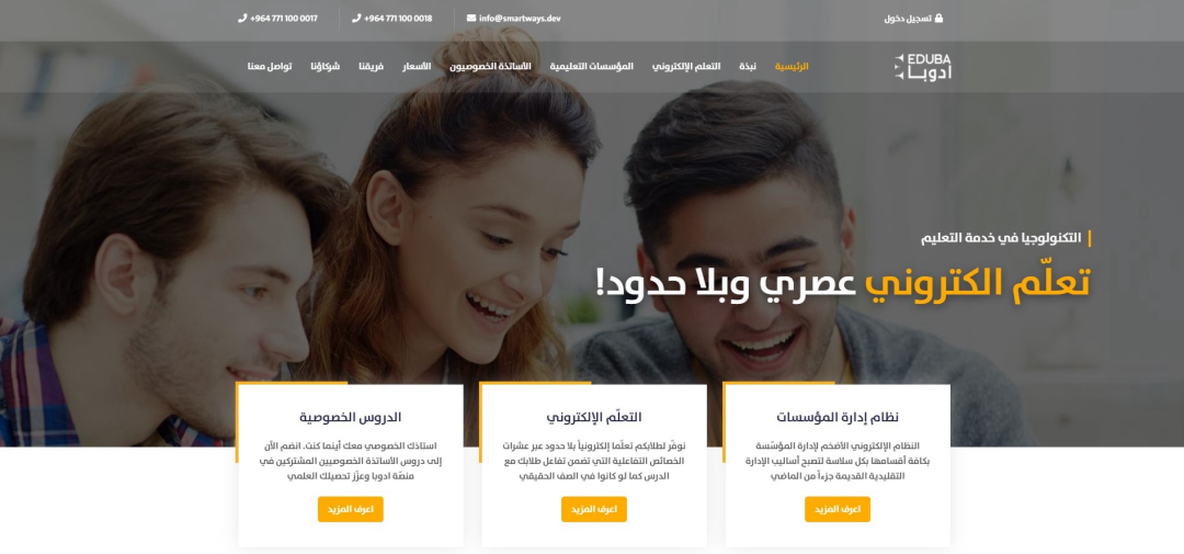


Comments
Log in to add a comment or reply.